- Future Students
- How to Apply
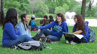
- Visit UHCL
- Admitted Students
- Tuition, Costs and Aid
- Degrees and Programs
- Contact Admissions
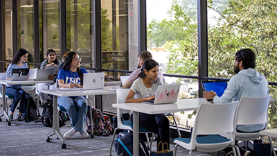
- Current Students
- Class Schedule
- Academic Calendar
- Advising
- Events
- Library
- Academic Resources and Support
- Student Services and Resources
- Alumni
- Lifetime Membership
- Alumni Events
- Update Your information
- Awards and Recognitions
- Give to UHCL

Funding for researching sustainable campus mapping technology: 'The sky's the limit'
June 8, 2022 | UHCL Staff

Colleges and universities often operate much the same as a small city with their own
buildings, parking, and dedicated law enforcement. They're also centers for innovation
and advancement, and like many cities, they're learning to invest in smart technologies
like geographic information systems that can create, manage and map all kinds of data
to make the student experience on campus more accessible and sustainable.
For University of Houston-Clear Lake, a $12,500 Sustainability Research grant funded through the Institute for Human and Planetary Sustainability is building a campus GIS platform that will address a problem that Associate Professor of Geography Jeff Lash describes as critical to making "layers of accurate geographic information more available to everyone on campus, as well as in the community."
The research began in August 2021 and funding lasts for one year.
Lash said the university's current mapping system was outdated. "We have no digital maps, and we need basic, accurate information about roads, building footprints, accessible parking spaces, crosswalks and the like," he said. "In the initial phase of the research, we are working to put layers of geographical information into a GIS which will live online. Once it's in 'the cloud', it can be used as a baseline map that can be leveraged into wayfinding apps, building and maintenance apps, sustainable landmarks and identifiers, and other information that can ultimately be used in sustainability initiatives and projects."
He said the goal of the first phase of the research project was to create an authoritative, comprehensive digital base map of the UHCL campus.
"Once all the data is online in GIS, then we'll be able to apply different templates to configure it," Lash explained. "We have lots of options for configurations- navigation to highlight streets and parking, finding things like fire hydrants and sprinkler systems, evacuation routes in all the buildings, and much more. Once we have all the information to create the map, it gets stored in the database and then it can be styled the way we want."
The database would remain online in the public domain and would ultimately be accessible just as a Google map is, but it would belong to UHCL.
"Anyone with any device will be able to get an accurate read of the campus. And for example, a contractor working on campus will have access to specialized maps of university infrastructure which will minimize potential accidents like digging up a fiber optic cable and will maximize efficiently because with the GIS, there's no need to search," he said. "The best part is, it's sustainable, because we own the data and UHCL staff can update it regularly. This project is all about building capacity on campus to manage and use our own spatial data."
IHAPS Executive Director Megan Topham said that Lash's project was one of eight proposed research projects that would be funded from the Institute's inaugural Sustainability Research Grant program and highlights the innovative and impactful sustainability research currently being done at our university. All the projects were spotlighted in a virtual "Pecha Kucha" event, held in April in celebration of Earth Day.
Pecha kucha is a Japanese term meaning "the sound of conversation" and is a method to encourage presenters of new ideas to use Power Point in an organized manner, in which they communicate their idea in under seven minutes using 20 slides.
"The idea of the pecha kucha was showcase the research being conducted, the intended impacts of the research, and to encourage future partnerships," Topham said. "The grants are very diverse and reinvigorate internal collaborations and momentum and allows us to keep building a robust applied research community in sustainability."
She said other grant projects included the Sustainable Stories Film Fest, the UHCL Campus Habitat Restoration, and the Building Sustainable Education and Research Partnerships Abroad project.
"This GIS research will become a community resource as well," she said. "Courses across campus can use this technology, giving our students hands-on, practical experiences by using our campus as a living laboratory. These tools will become a community resource as well. Truly, the sky is the limit for what this can do."
Topham added that each of the Sustainability Research grants are evaluated and selected by a review committee. Lash's co-principal investigators on the grant are Environmental Institute of Houston Senior Researcher Marc Mokresh, Associate Professors Stuart Larson and Jason Makepeace, and two students.
For more information about IHAPS and other sustainability research grants, go online.